Reference
UK road signs
All 169 signs from the gov.uk Highway Code Traffic Signs chapter — filter by category or search by name. Know them already? Test yourself with the road signs quiz →
Contains public sector information licensed under the Open Government Licence v3.0. Source: gov.uk/guidance/the-highway-code/traffic-signs. Fetched .
Signs giving orders
-
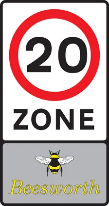
Entry to 20 mph zone
-
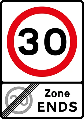
End of 20 mph zone
-
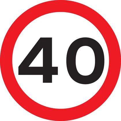
Maximum speed
-
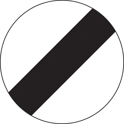
National speed limit applies
-
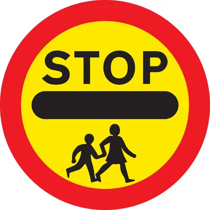
School crossing patrol
-
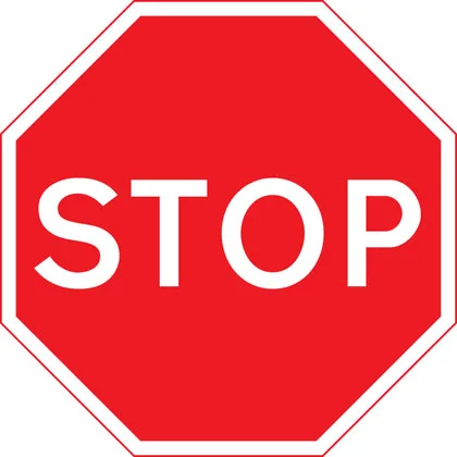
Stop and give way
-
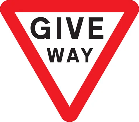
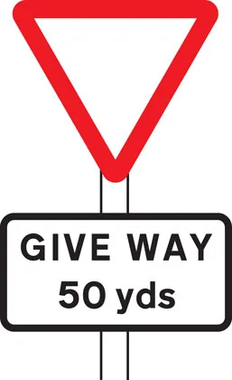
Give way to traffic on major road
-
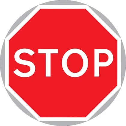
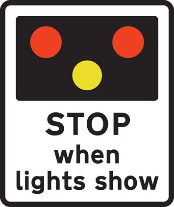
Manually operated temporary STOP and GO signs
-
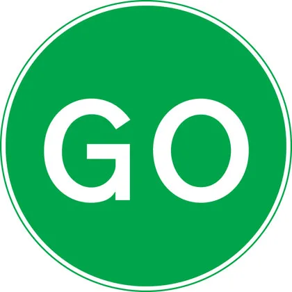
Manually operated temporary STOP and GO signs
-
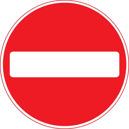
No entry for vehicular traffic
-
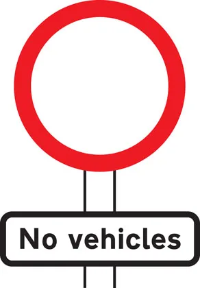
No vehicles except bicycles being pushed
-
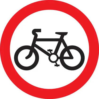
No cycling
-
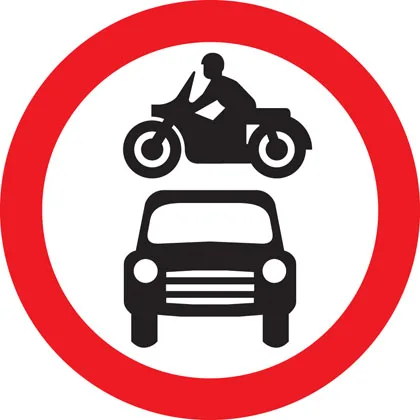
No motor vehicles
-
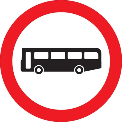
No buses (over 8 passenger seats)
-
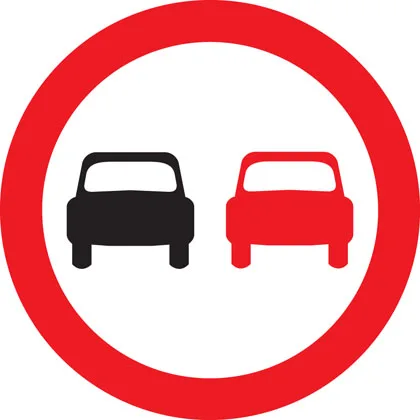
No overtaking
-
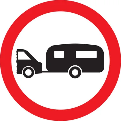
No towed caravans
-
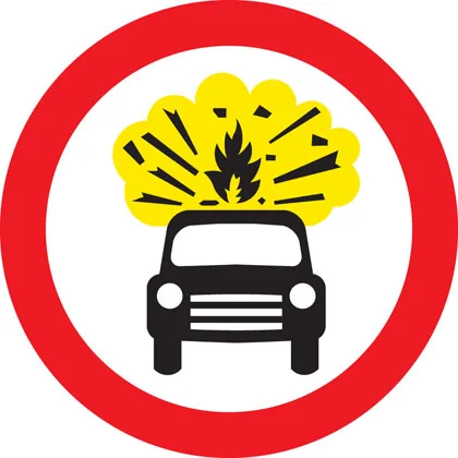
No vehicles carrying explosives
-
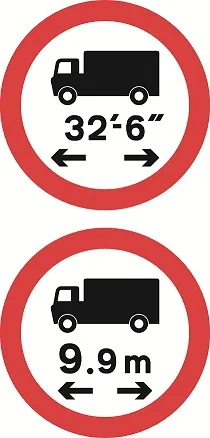
No vehicle or combination of vehicles over length shown
-
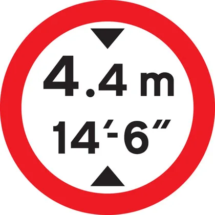
No vehicles over height shown
-
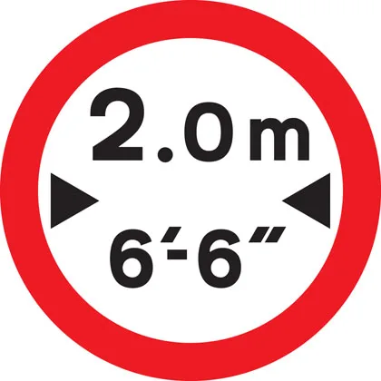
No vehicles over width shown
-

Give priority to vehicles from opposite direction
-
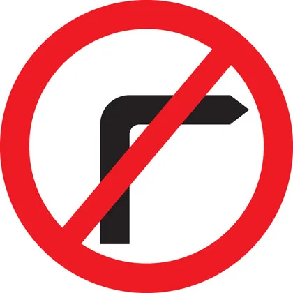
No right turn
-
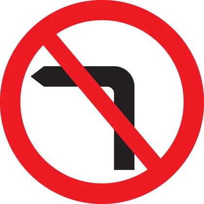
No left turn
-
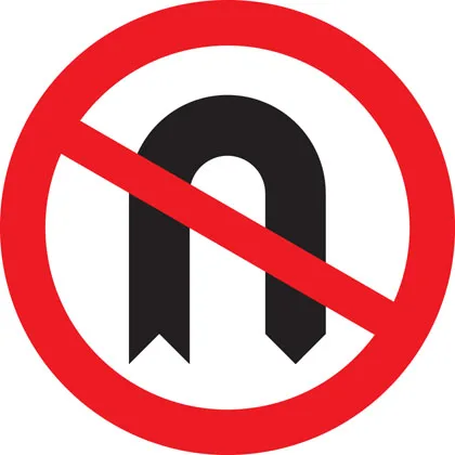
No U-turns
-
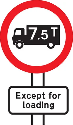
No goods vehicles over maximum gross weight shown (in tonnes) except for loading and unloading
-
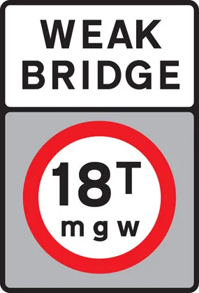
No vehicles over maximum gross weight shown (in tonnes)
-
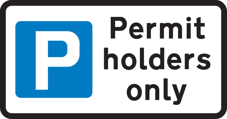
Parking restricted to permit holders
-
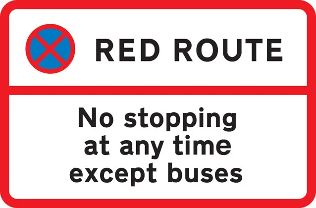
No stopping during period indicated except for buses
-

No stopping during times shown except for as long as necessary to set down or pick up passengers
-
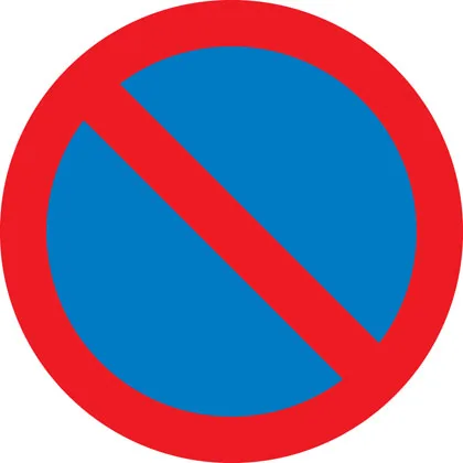
No waiting
-
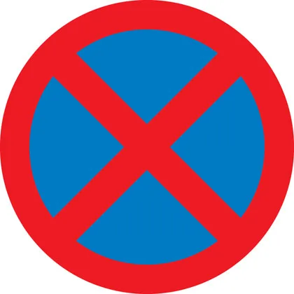
No stopping (Clearway)
-
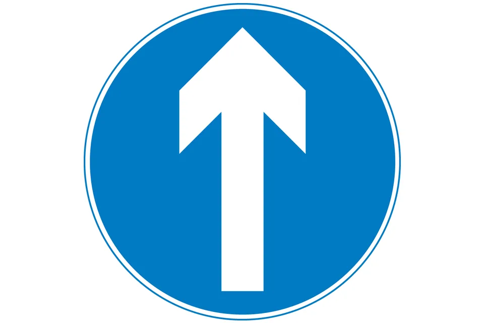
Ahead only
-
Turn left ahead (right if symbol reversed)
-
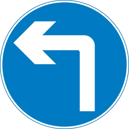
Turn left (right if symbol reversed)
-
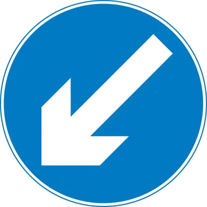
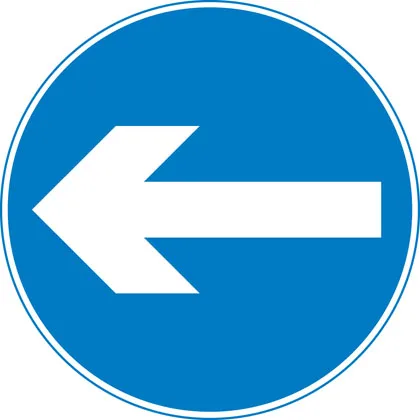
Keep left (right if symbol reversed)
-
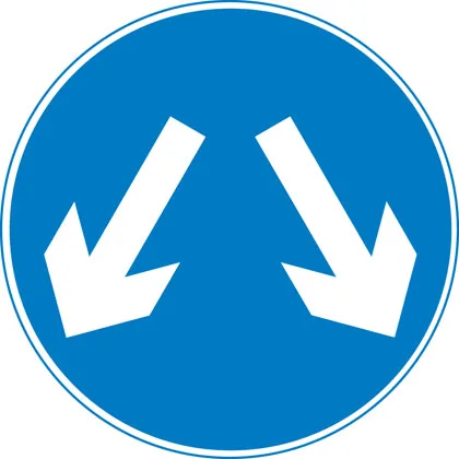
Vehicles may pass either side to reach same destination
-
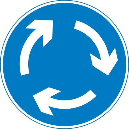
Mini-roundabout (roundabout circulation - give way to vehicles from the immediate right)
-

Route to be used by pedal cycles only
-
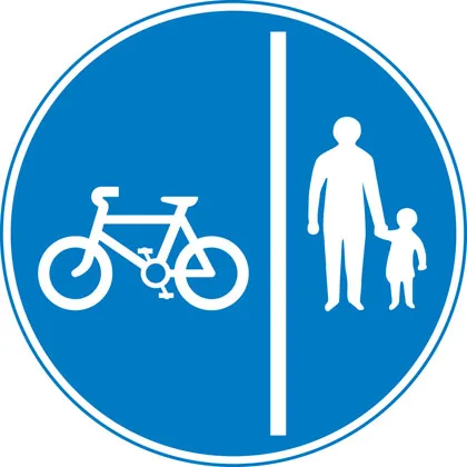
Segregated pedal cycle and pedestrian route
-
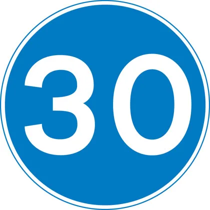
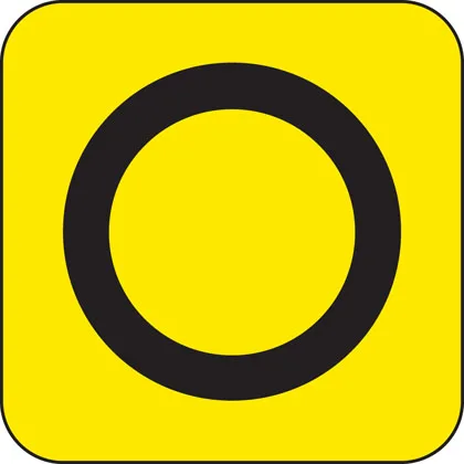
Minimum speed
-
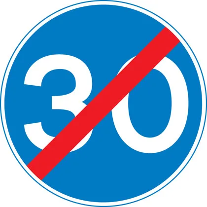
End of minimum speed
-
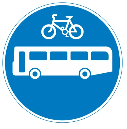
Buses and cycles only
-
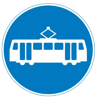
Trams only
-
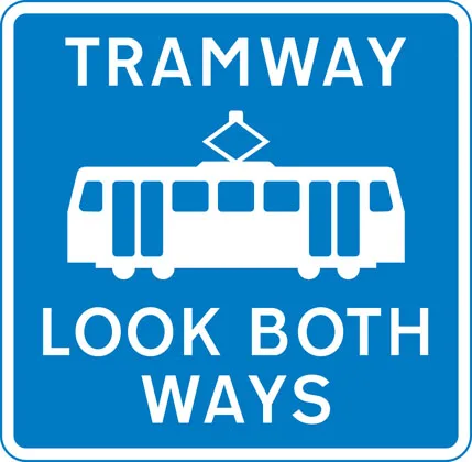
Pedestrian crossing point over tramway
-
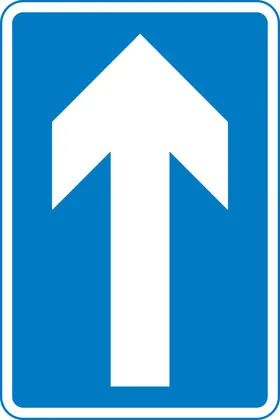
One-way traffic (note: compare circular ‘Ahead only’ sign)
-
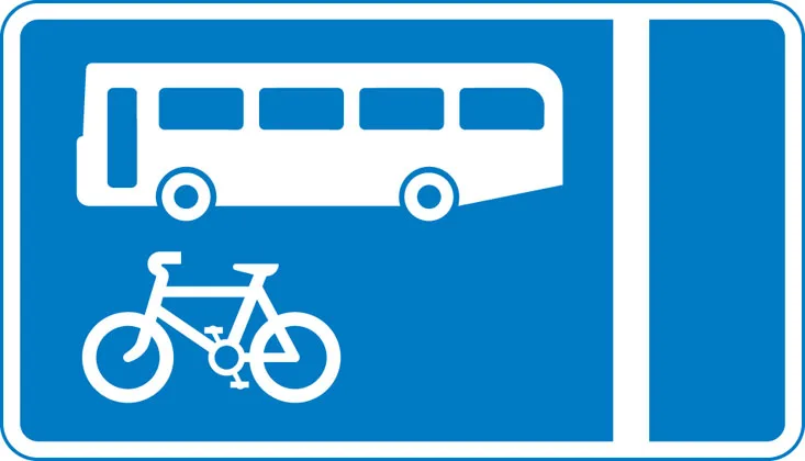
With-flow bus and cycle lane
-
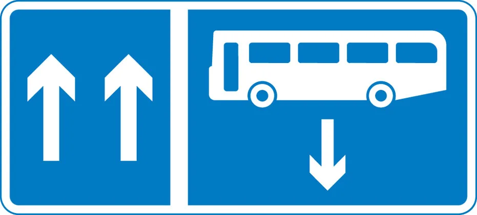
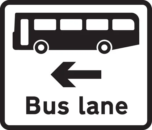
Contra-flow bus lane
-
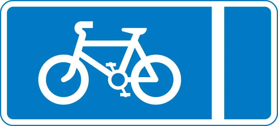
With-flow pedal cycle lane


Warning signs
-

Distance to ‘STOP’ line ahead
-
Dual carriageway ends
-
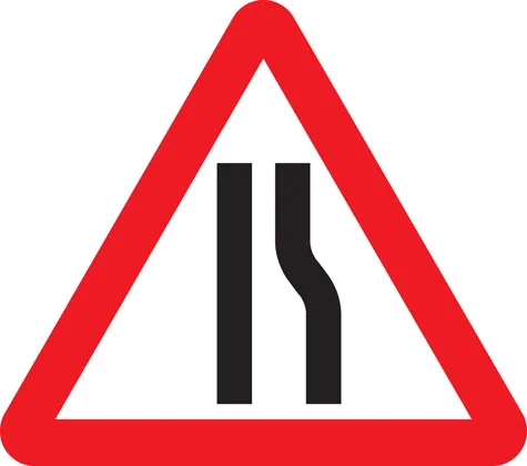
Road narrows on right (left if symbol reversed)
-
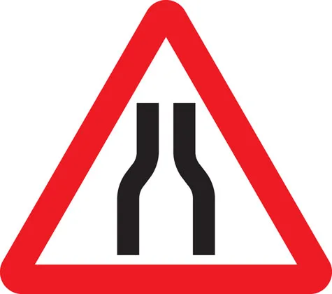
Road narrows on both sides
-
Distance to ‘Give Way’ line ahead
-
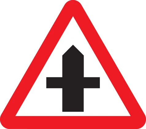
Crossroads
-
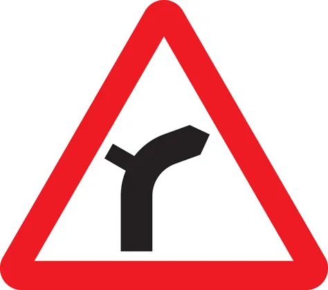
Junction on bend ahead
-
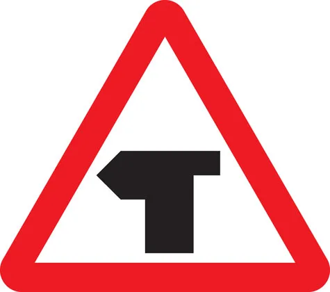
T-junction with priority over vehicles from the right
-
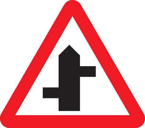
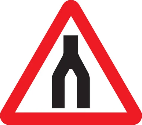
Staggered junction
-
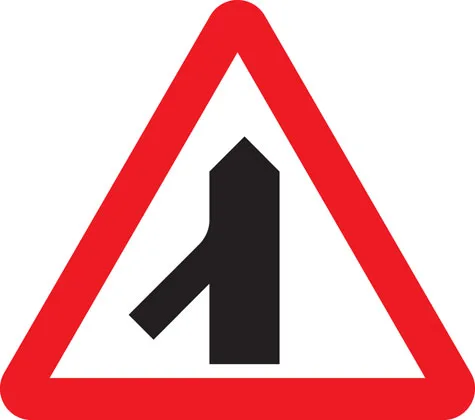
Traffic merging from left ahead
-
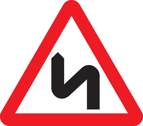
Double bend first to left (symbol may be reversed)
-
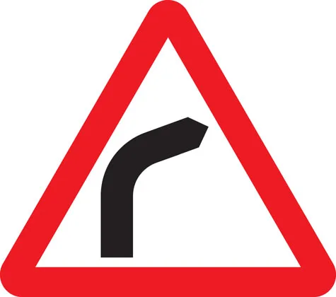
Bend to right (or left if symbol reversed)
-
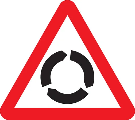
Roundabout
-
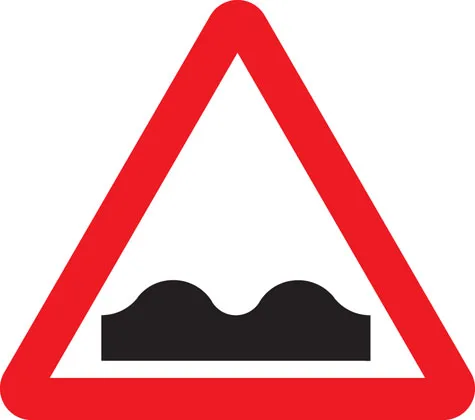
Uneven road
-
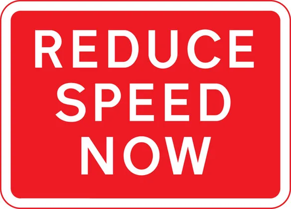
Plate below some signs
-
Two-way traffic crosses one-way road
-
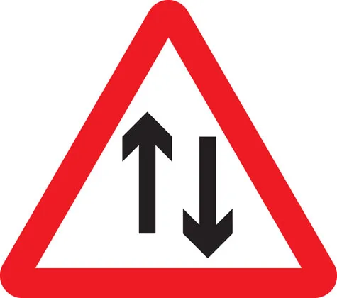
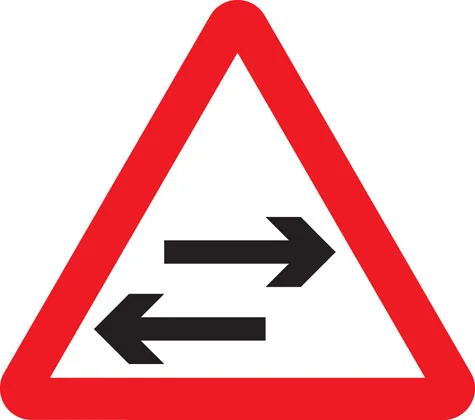
Two-way traffic straight ahead
-
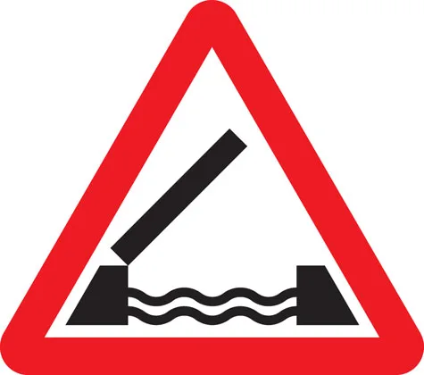
Opening or swing bridge ahead
-
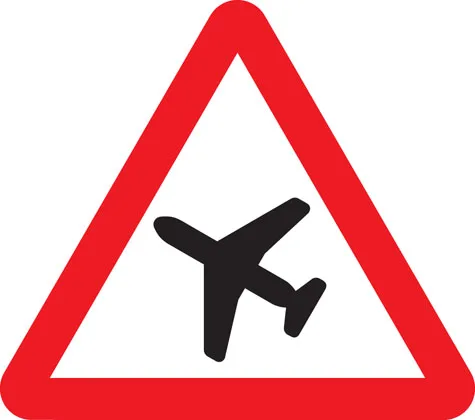
Low-flying aircraft or sudden aircraft noise
-
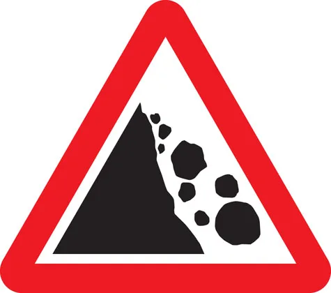
Falling or fallen rocks
-
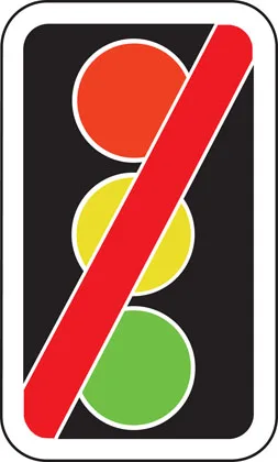
Traffic signals not in use
-
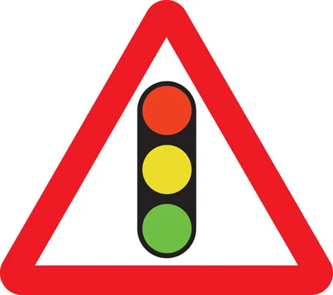
Traffic signals
-
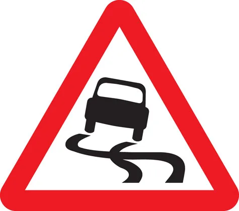
Slippery road
-
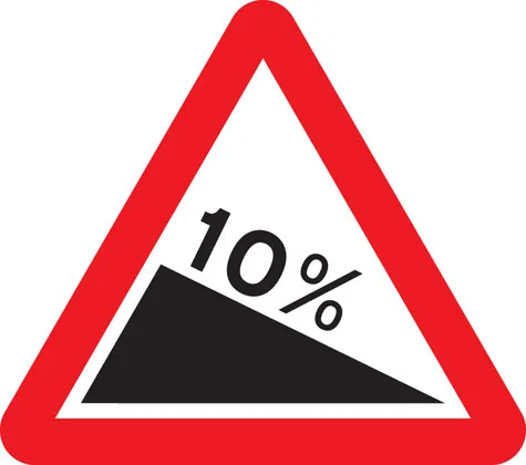
Steep hill downwards
-
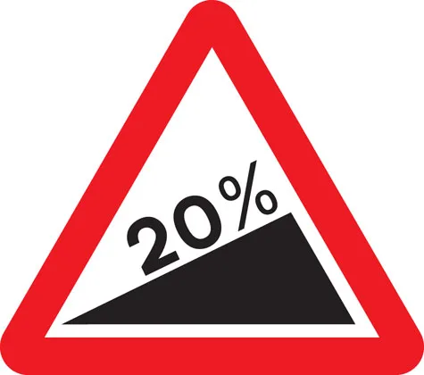
Steep hill upwards
-
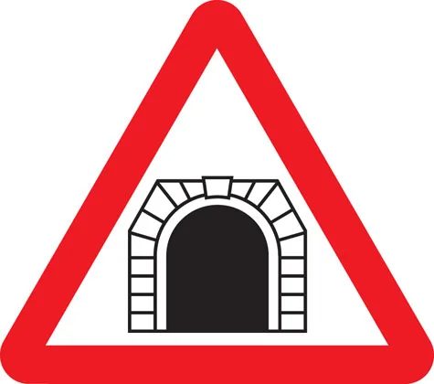
Tunnel ahead
-
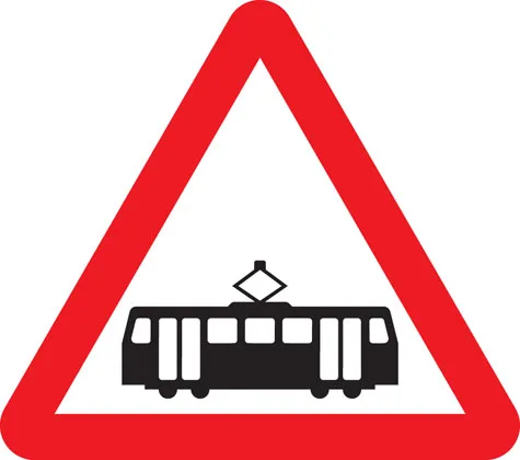
Trams crossing ahead
-
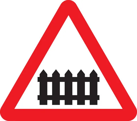
Level crossing with barrier or gate ahead
-

Level crossing without barrier or gate ahead
-
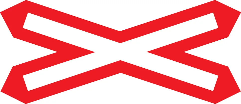
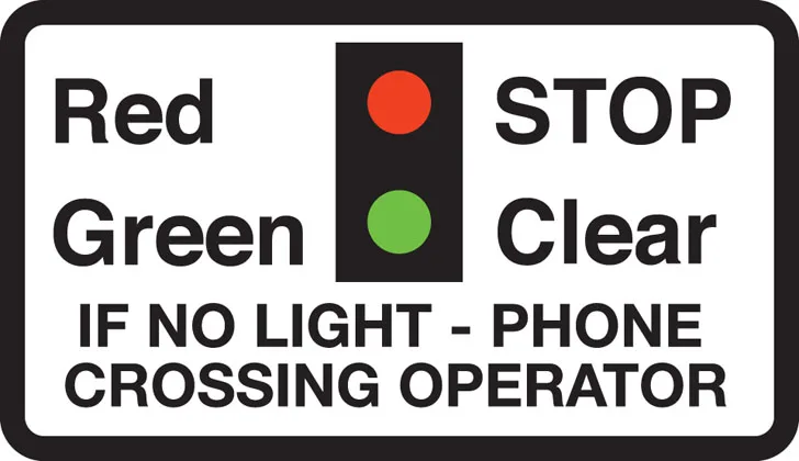
Level crossing without barrier
-
School crossing patrol ahead (some signs have amber lights which flash when crossings are in use)
-
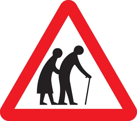
Frail (or blind or disabled if shown) pedestrians likely to cross road ahead
-
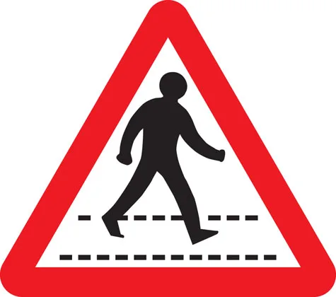
Pedestrians in road ahead
-
Zebra crossing
-
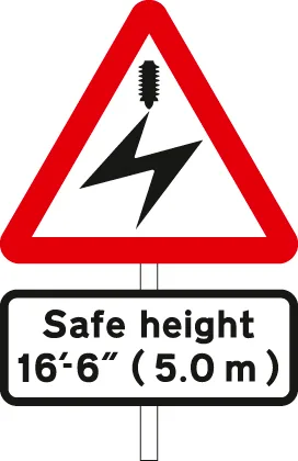
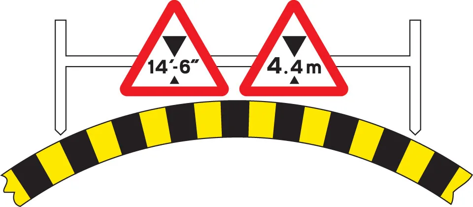
Overhead electric cable; plate indicates maximum height of vehicles which can pass safely
-
Available width of headroom indicated
-

Sharp deviation of route to left (or right if chevrons reversed)
-
Light signals ahead at level crossing, airfield or bridge
-
Miniature warning lights at level crossings
-
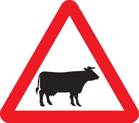
Cattle
-
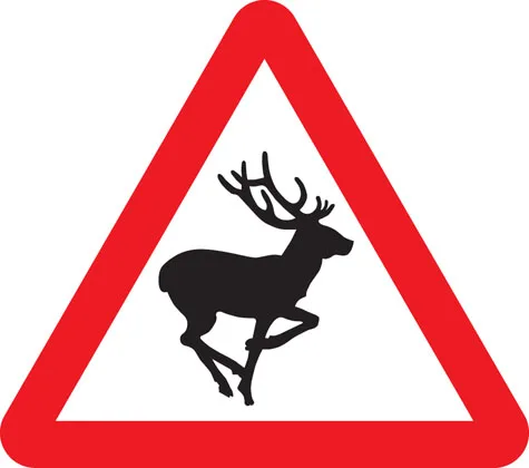
Wild animals
-
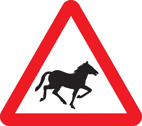
Wild horses or ponies
-
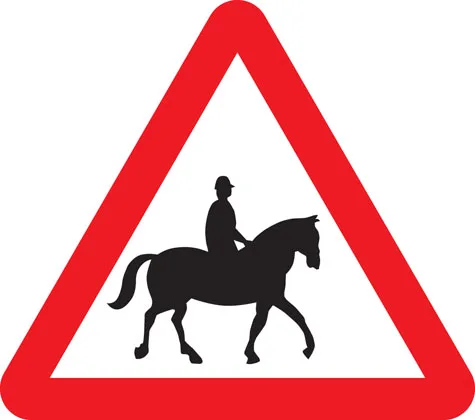
Accompanied horses or ponies
-
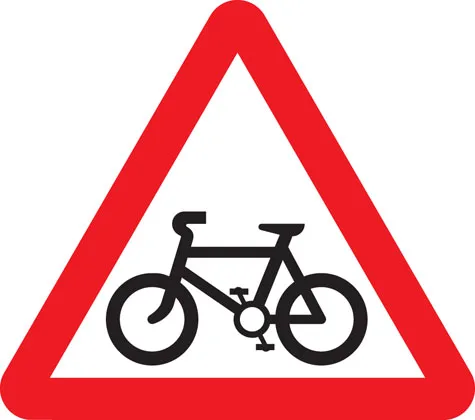
Cycle route ahead
-

Risk of ice
-
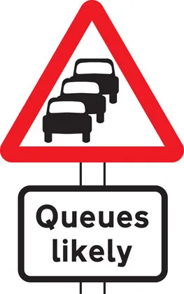
Traffic queues likely ahead
-
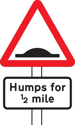
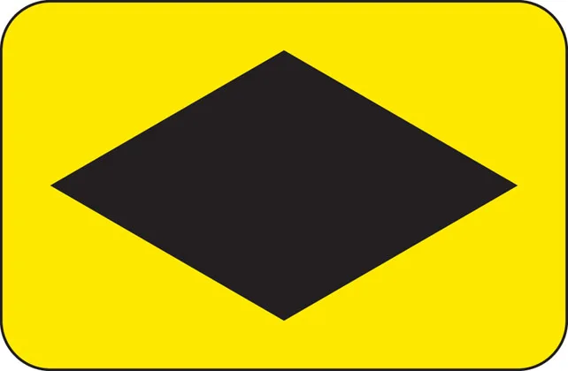
Distance over which road humps extend
-

Other danger; plate indicates nature of danger
-
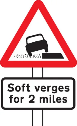
Soft verges
-
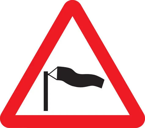
Side winds
-
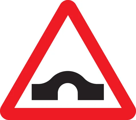
Hump bridge
-
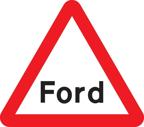
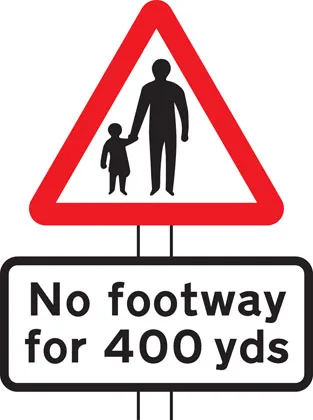
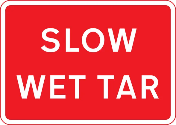
Worded warning sign
-
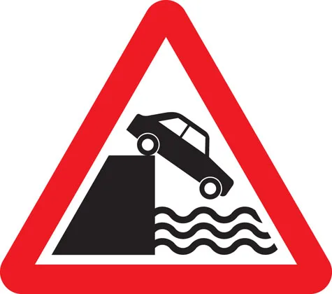
Quayside or river bank
-
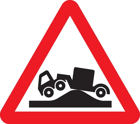
Risk of grounding


Direction signs
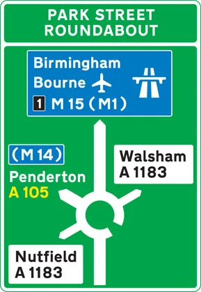
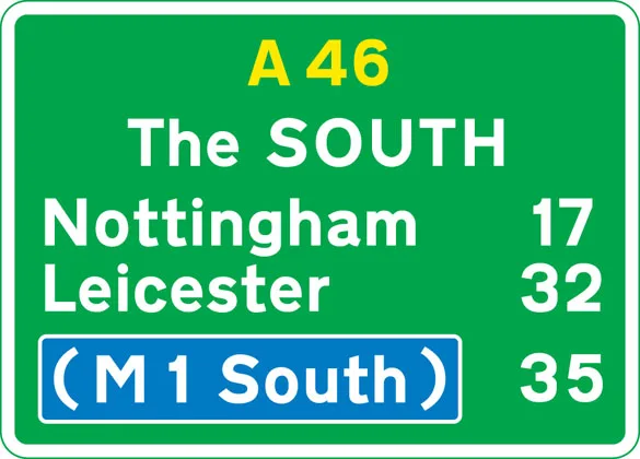
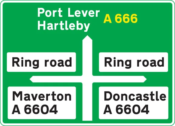
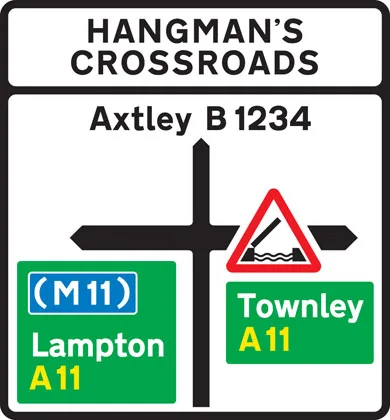
Blue panels indicate that the motorway starts at the junction ahead. Motorways shown in brackets can also be reached along the route indicated. White panels indicate local or non-primary routes leading from the junction ahead. Brown panels show the route to tourist attractions. The name of the junction may be shown at the top of the sign. The aircraft symbol indicates the route to an airport. A symbol may be included to warn of a hazard or restriction along that route.
-
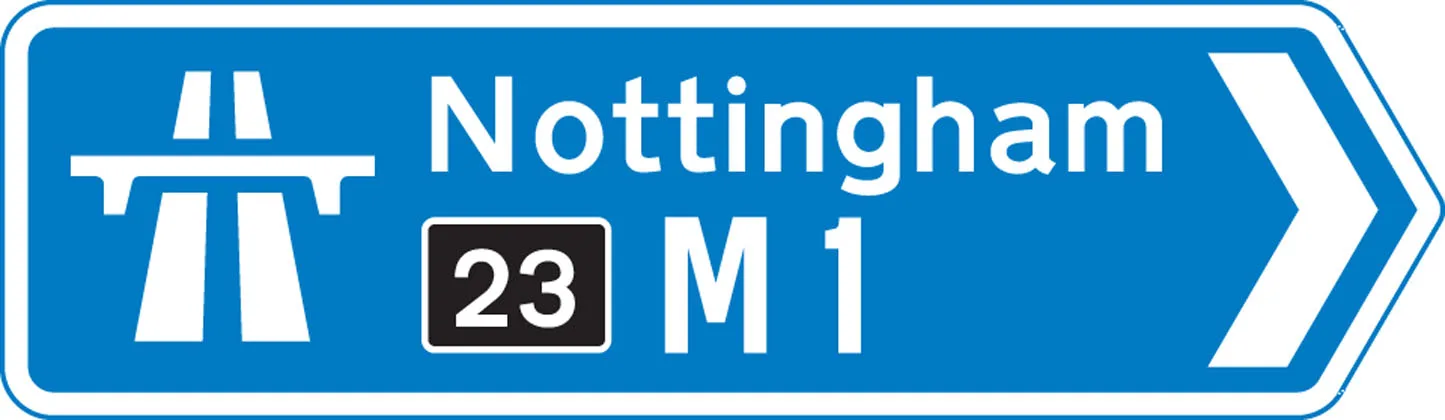
At a junction leading directly into a motorway (junction number may be shown on a black background)
-
On approaches to junctions (junction number on black background)
-
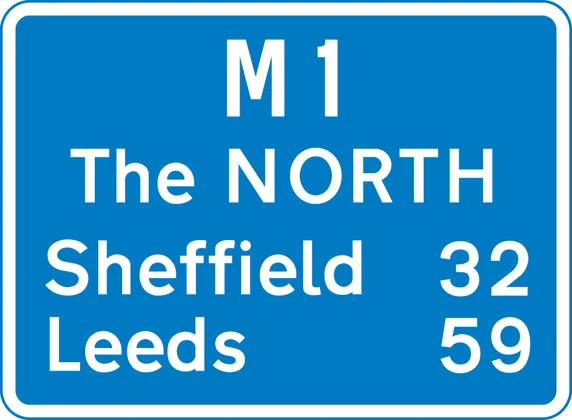
Route confirmatory sign after junction
-
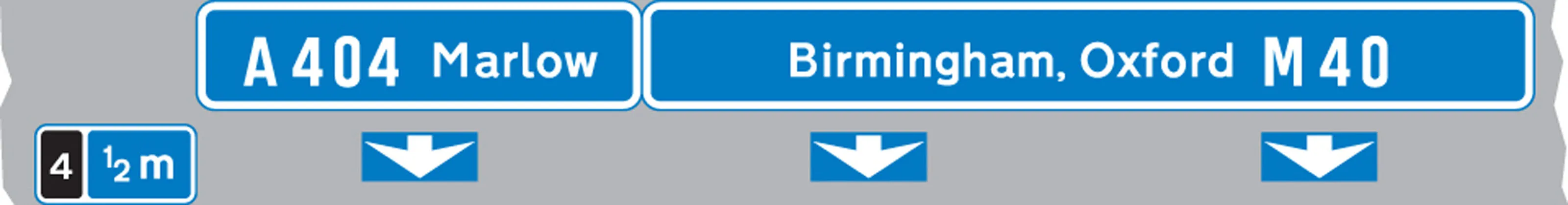
Downward pointing arrows mean ‘Get in lane’ The left-hand lane leads to a different destination from the other lanes.
-
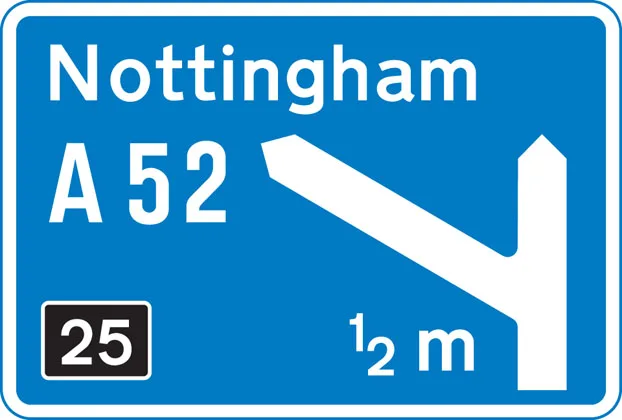
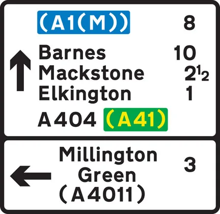
The panel with the inclined arrow indicates the destinations which can be reached by leaving the motorway at the next junction
-
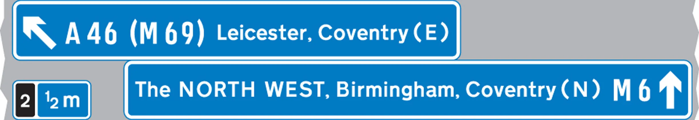
On approaches to junctions
-
At the junction
-
Route confirmatory sign after junction
-
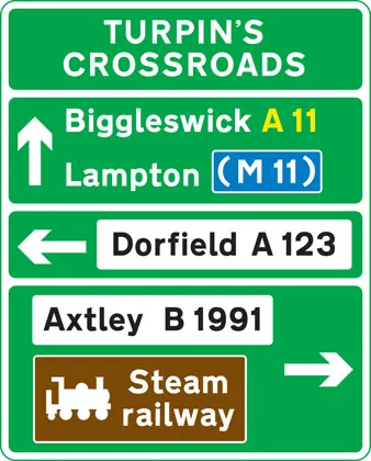
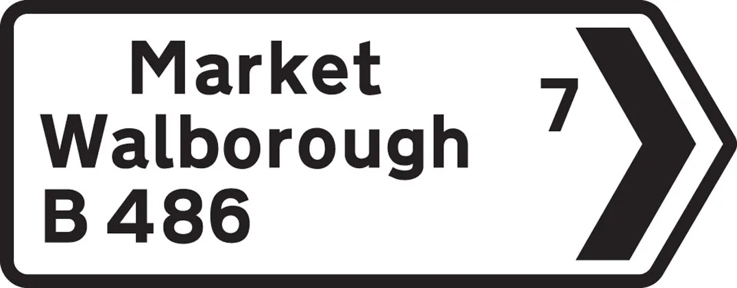
On approaches to junctions
-
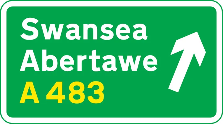
On approach to a junction in Wales (bilingual)
-
Primary route forming part of a ring road
-
Primary route forming part of a ring road
-
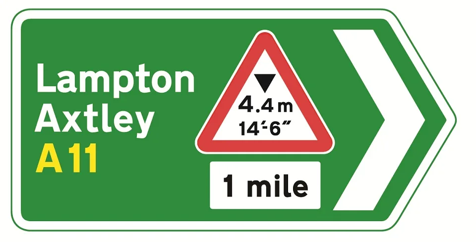
On approaches to junctions
-
On approaches to junctions
-
At the junction
-
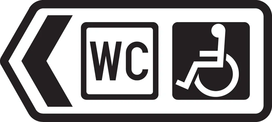
Direction to toilets with access for the disabled
-
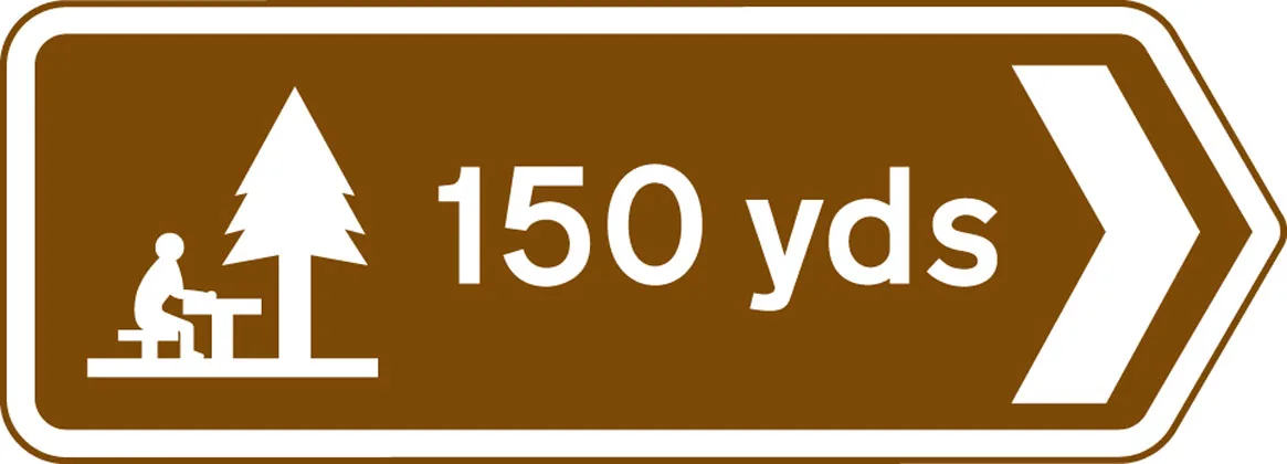
Picnic site
-
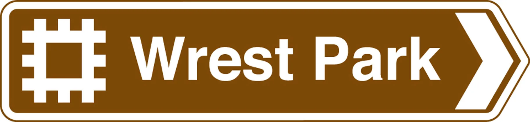
Ancient monument in the care of English Heritage
-
Direction to a car park
-
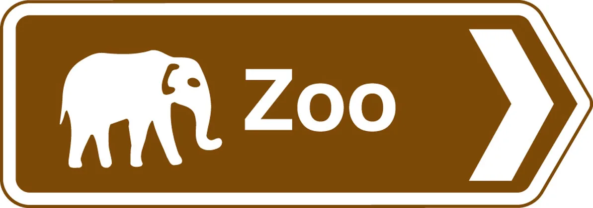
Tourist attraction
-
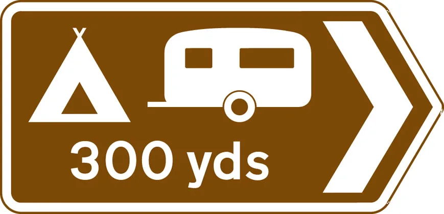
Direction to camping and caravan site
-
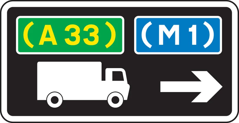
Advisory route for lorries
-
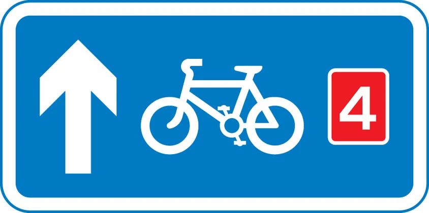
Route for pedal cycles forming part of a network
-

Recommended route for pedal cycles to place shown
-
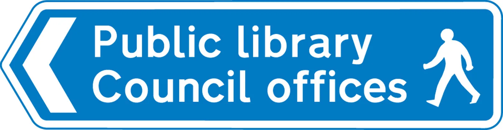
Route for pedestrians
-
Symbols showing emergency diversion route for motorway and other main road traffic
-
Symbols showing emergency diversion route for motorway and other main road traffic
-
Symbols showing emergency diversion route for motorway and other main road traffic
-
Symbols showing emergency diversion route for motorway and other main road traffic
-
Diversion route


Information signs
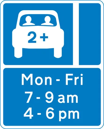
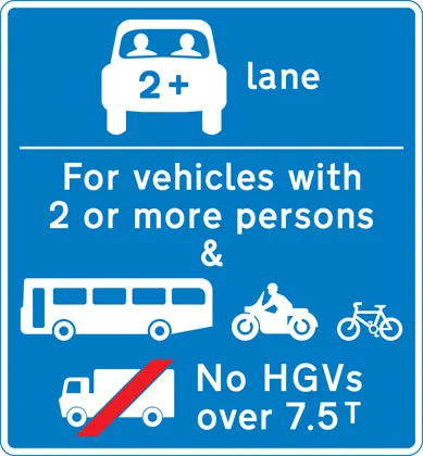
Lane designated for use by high occupancy vehicles (HOV) - see rule 142
-
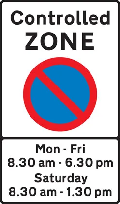
Entrance to controlled parking zone
-
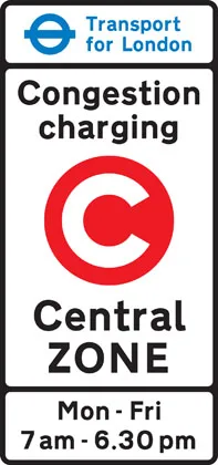
Entrance to congestion charging zone
-
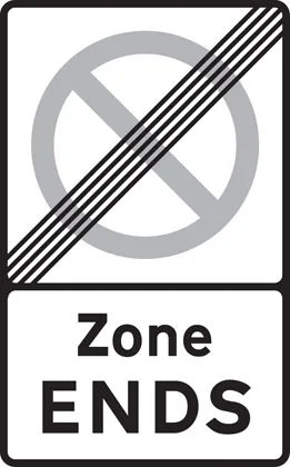
End of controlled parking zone
-

Advance warning of restriction or prohibition ahead
-
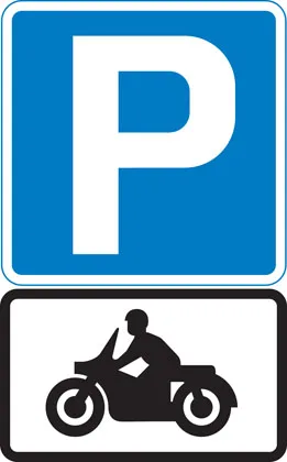
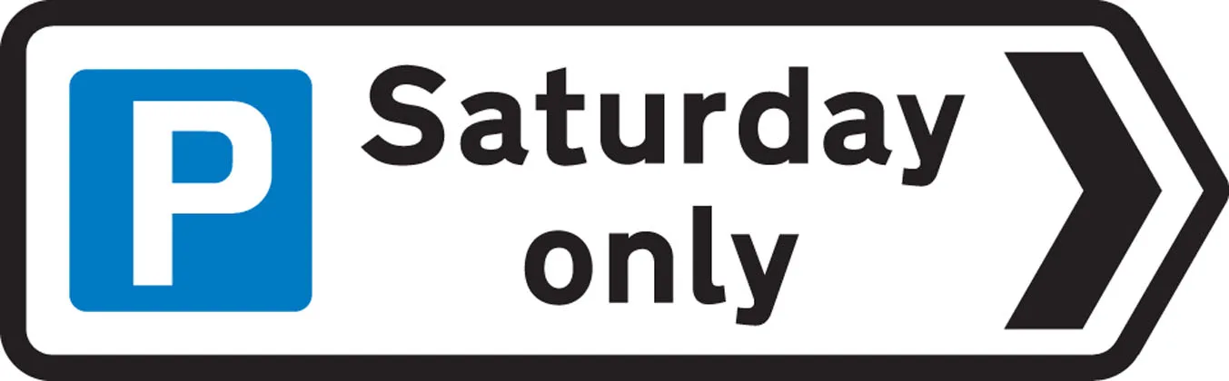
Parking place for solo motorcycles
-
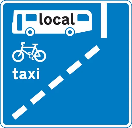
With-flow bus lane ahead which pedal cycles and taxis may also use
-
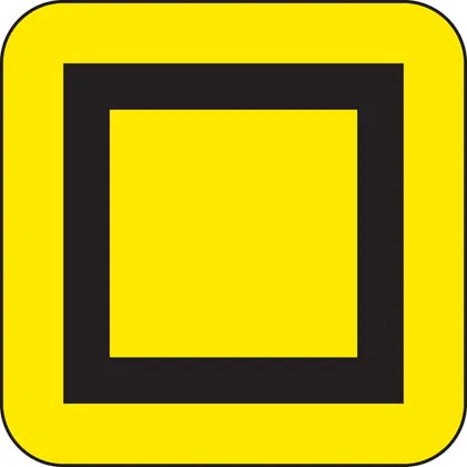
Untitled sign
-
Vehicles permitted to use an HOV lane ahead
-
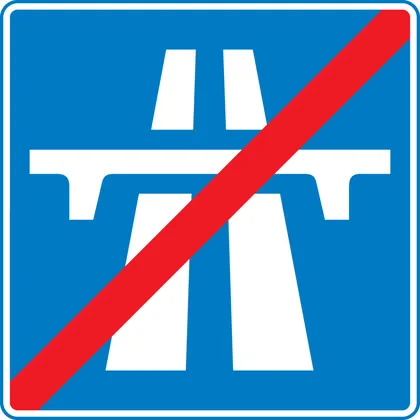
End of motorway
-
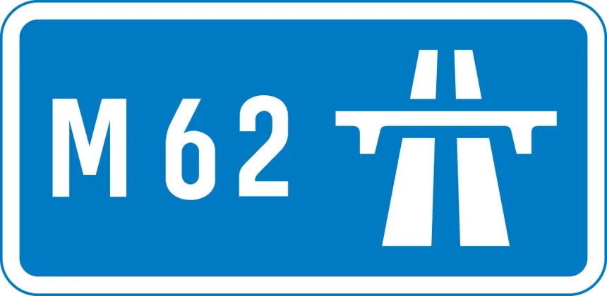
Start of motorway and point from which motorway regulations apply
-
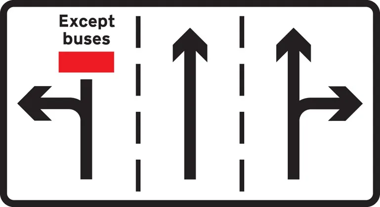
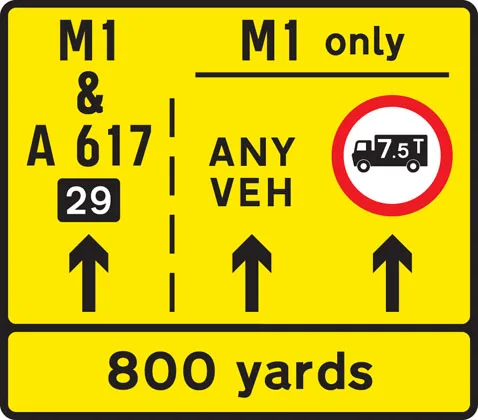
Appropriate traffic lanes at junction ahead
-
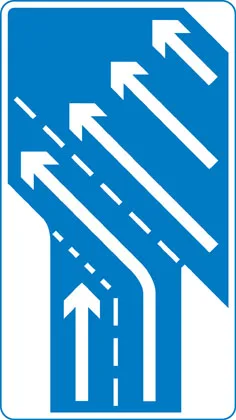
Traffic on the main carriageway coming from right has priority over joining traffic
-
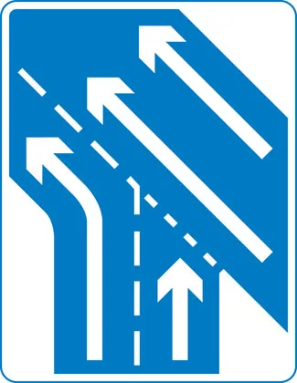
Additional traffic joining from left ahead. Traffic on main carriageway has priority over joining traffic from right hand lane of slip road
-
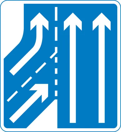
Traffic in right hand lane of slip road joining the main carriageway has priority over left hand lane
-
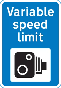
Variable speed limit with camera enforcement sign.
-
‘Countdown’ markers at exit from motorway (each bar represents 100 yards to the exit). Green-backed markers may be used on primary routes and white-backed markers with black bars on other routes. At approaches to concealed level crossings white-backed markers with red bars may be used. Although these will be erected at equal distances the bars do not represent 100 yard intervals.
-
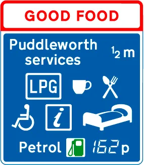
Motorway service area sign showing the operator’s name
-
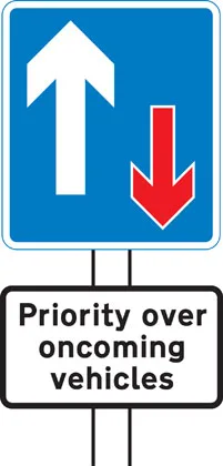
Traffic has priority over oncoming vehicles
-
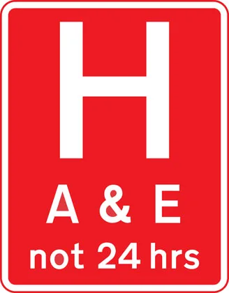
Hospital ahead with Accident and Emergency facilities
-
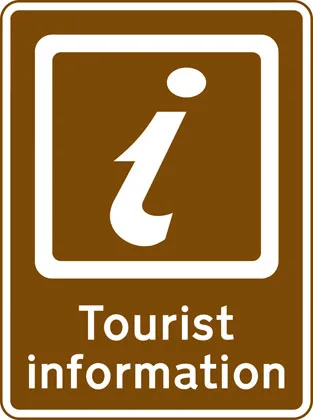
Tourist information point
-
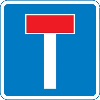
No through road for vehicles
-
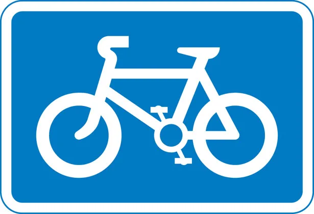
Recommended route for pedal cycles
-
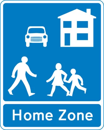
Home Zone Entry
-
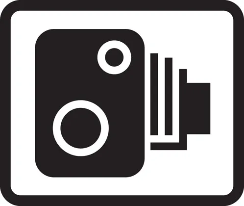
Area in which cameras are used to enforce traffic regulations
-
Bus lane on road at junction ahead


Road work signs
-
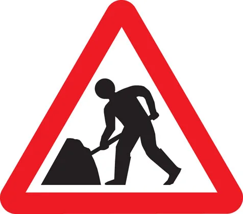
Road works
-
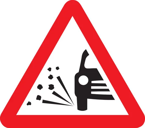
Loose chippings
-
Temporary hazard at road works
-
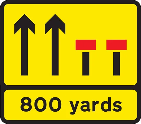
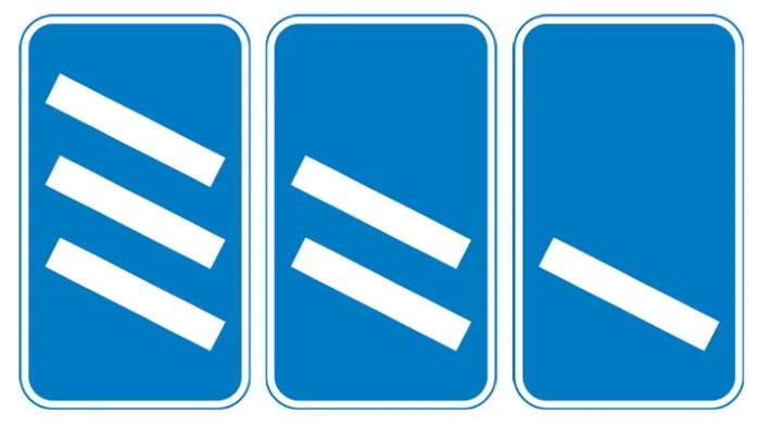
Temporary lane closure (the number and position of arrows and red bars may be varied according to lanes open and closed)
-
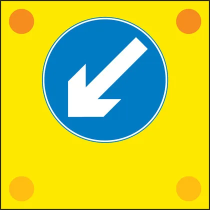
Slow-moving or stationary works vehicle blocking a traffic lane. Pass in the direction shown by the arrow.
-
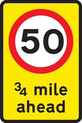
Mandatory speed limit ahead
-
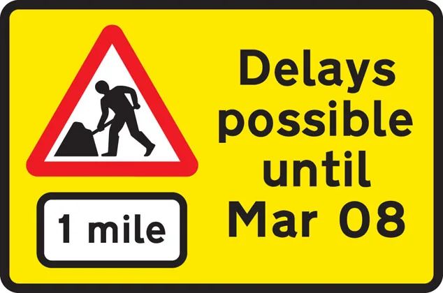
Road works 1 mile ahead
-
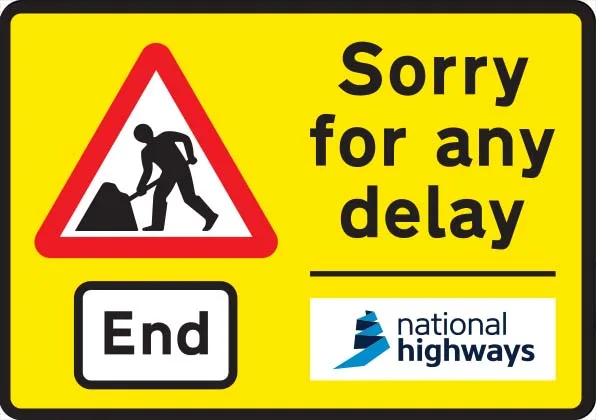
End of road works and any temporary restrictions including speed limits
-
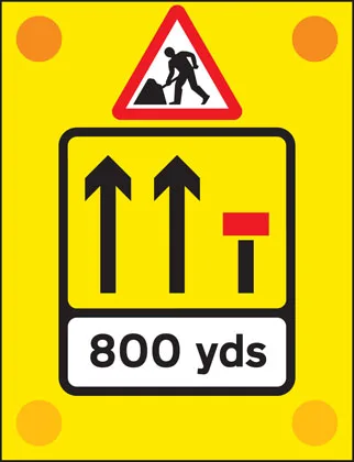
Signs used on the back of slow-moving or stationary vehicles warning of a lane closed ahead by a works vehicle. There are no cones on the road.
-
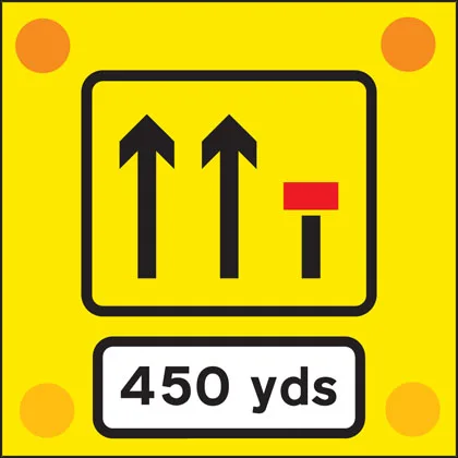
Signs used on the back of slow-moving or stationary vehicles warning of a lane closed ahead by a works vehicle. There are no cones on the road.
-
Lane restrictions at road works ahead
-
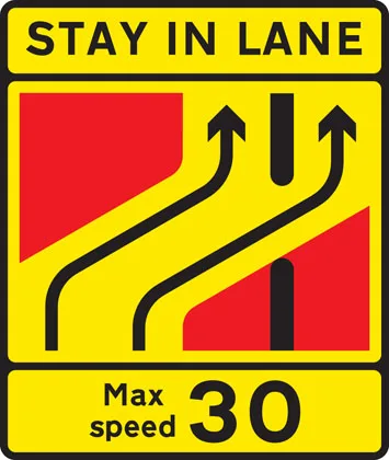
One lane crossover at contraflow road works


No signs match your filters. Try clearing one.
Frequently mis-identified signs
A small group of signs catches candidates out repeatedly. The shape is usually the giveaway — circles command, triangles warn, rectangles inform, the octagon means STOP. Use the shape first, then read the symbol.
-
National speed limit applies National speed limit applies
A white circle with a single black diagonal. Means "the national limit applies" — 60 mph on single carriageways, 70 mph on dual carriageways and motorways for a car. Often misread as "no restrictions" or a derestricted zone — wrong. The limit is still there; you have to know what it is for that road type.
-
No entry for vehicular traffic No through road for vehicles No entry vs no through road
Both feature a red bar on a circle/rectangle and both stop you proceeding straight on, but they mean different things. The CIRCULAR red-bar sign (left) is a prohibitive order — you must not enter from this direction at all. The RECTANGULAR sign (right) is information — the road ahead is a dead end for vehicles; turn around at the far end.
-
Maximum speed Minimum speed Maximum vs minimum speed
Red ring = LIMIT (do not exceed). Blue circle = MANDATORY (do at least this speed). A blue circle showing 30 means you must drive at least 30 mph; a red-ringed 30 means you must not exceed 30 mph. The colour rule is universal — red rings prohibit, blue circles mandate.
-
Stop and give way Give way to traffic on major road STOP vs Give Way
STOP (the octagon) is the only octagonal sign on UK roads — you must come to a COMPLETE halt at the line even if the road is clear. Give Way (the inverted red triangle) means yield to traffic on the major road but you may continue without stopping if it is safe to do so. Theory questions hinge on "stop completely vs yield only".
-
Mini-roundabout (roundabout circulation - give way to vehicles from the immediate right) Roundabout Mini-roundabout (order) vs Roundabout (warning)
The BLUE circular sign (left) is at the junction itself — a mini-roundabout, treat as a normal roundabout. The RED TRIANGLE (right) is a warning placed upstream, telling you a roundabout is coming. Triangles warn, blue circles order — colour and shape together identify each.
-
Tourist information point Entrance to controlled parking zone Information signs that look alike
Both are rectangular information signs with a coloured background and a clear icon. The brown panel on the left is a tourist information point (the white "i"); the blue panel on the right marks the entrance to a controlled parking zone (with its parking restrictions on the same sign). At speed the colour is the cue.
-
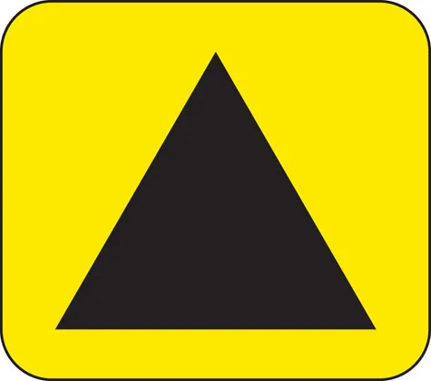
Slippery road Two-way traffic straight ahead Wild animals Uneven road Red triangular warnings — every one shares the shape
All warning signs use the same red-bordered triangle. The symbol inside is what differentiates them. The four most-tested patterns (left to right): slippery road, two-way traffic, wild animals, uneven road. Drill the symbols — the shape and colour will not tell you which warning is which.
On direction signs the same colour rule does the work: blue = motorway, green = primary route, white = local route, brown = tourist destination, yellow = temporary diversion. The Direction signs section above has examples of each.